24h Wind forecast · map centre
Forecast: MET Norway · CC BY 4.0. Approximate forecast, not safety advice.

Forecast: MET Norway · CC BY 4.0. Approximate forecast, not safety advice.
Sign in to save this map on this browser.
Launch points, slipways, and shared routes are shown by default.
AIS data is off until selected.
Each number is the latest Environment Agency station reading. Open its marker for the measured time, unit and datum.
Trend samples collected every 6 hours. Open an Environment Agency river-level marker for the net change over 1, 3 and 7 days and the latest sample time. Missing history is labelled; these changes are not a forecast or safety advice. Six-hour observations are retained for long-term history.
We build this rolling five-year seasonal reference from Environment Agency readings as they arrive, polling every 15 minutes. We first calculate each day’s median, then compare daily medians from the same calendar month: P10, P50 and P90 are the 10th, 50th and 90th percentiles, and P10–P90 spans the middle 80% of qualifying records. A station-month appears only after at least 30 valid days across 3 or more years. The record is still building until five years have accumulated.
These are historical comparisons, not a flood warning, water depth, forecast or safety assessment. Readings and coverage vary by station; check current official conditions before setting off.
Flood shading marks official warning areas, not measured floodwater. Tide predictions and inland tidal-reach lines are unavailable in this map. Check official tide times.
Flood and water-condition layers are off until selected.
Loading alerts…
Location results
Read-only view
Stored records · outflow total unavailable
These rankings show recorded event-time totals. Live events end at their latest source observation; records without usable times are omitted, and overlapping events count separately. Totals do not measure discharge volume or harm.
Select Load history to read stored bloom and discharge records.
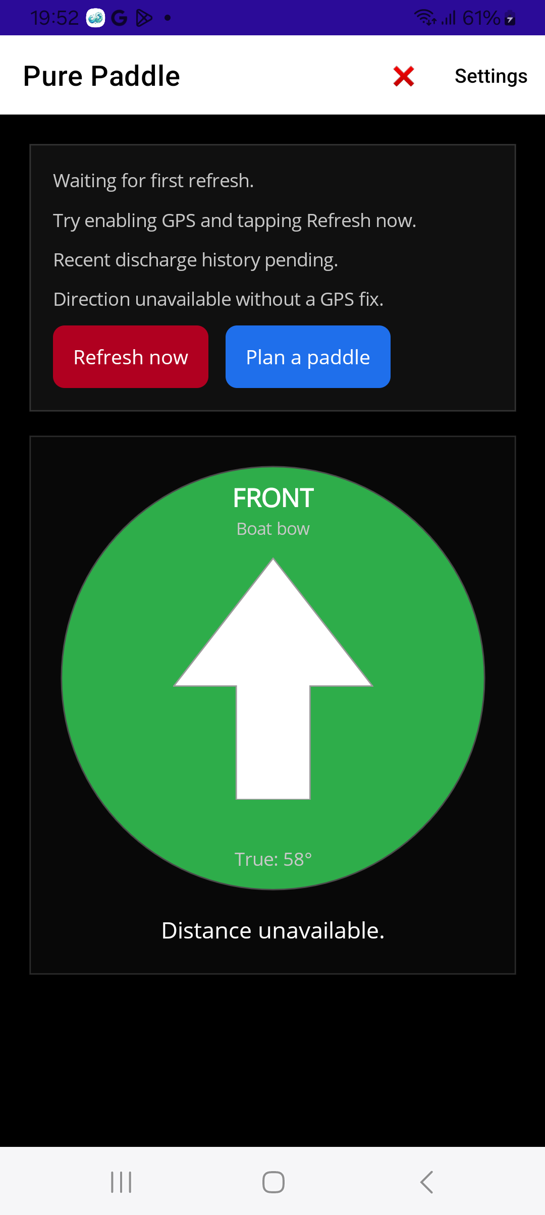
Pure Paddle mobile app
We’re looking for closed testers to try live spill alerts, proximity warnings, compass-aware guidance, and background monitoring for paddling and river activities.